Wrestling the Unknown
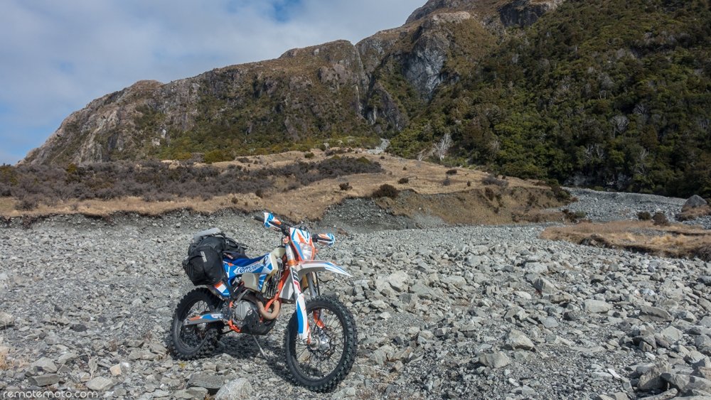
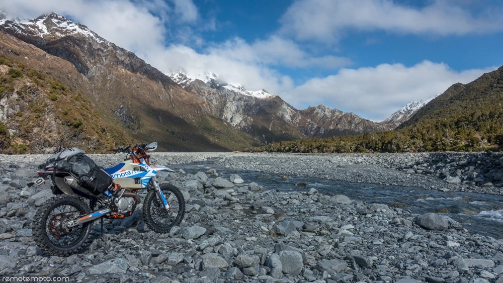
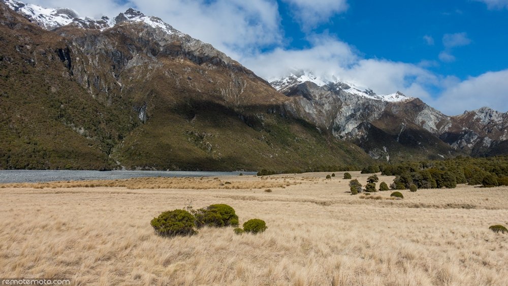
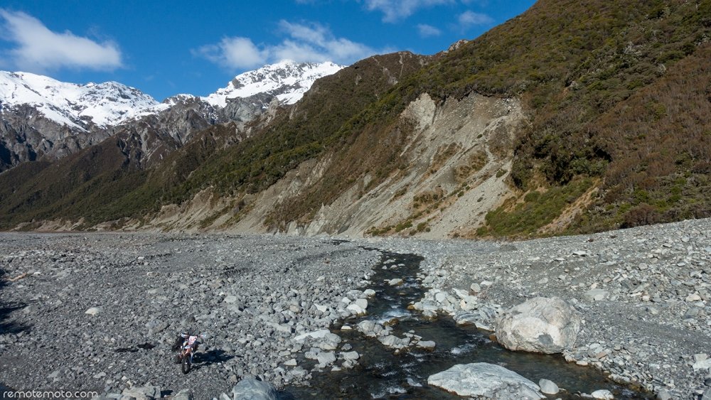
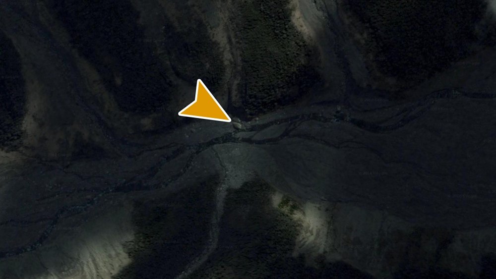
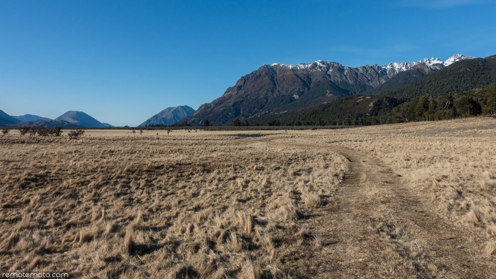
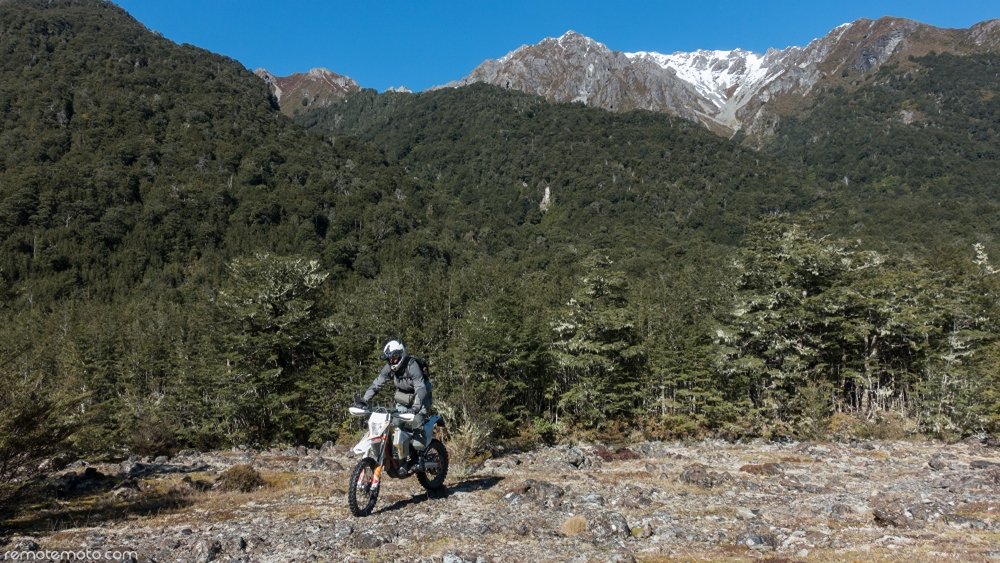
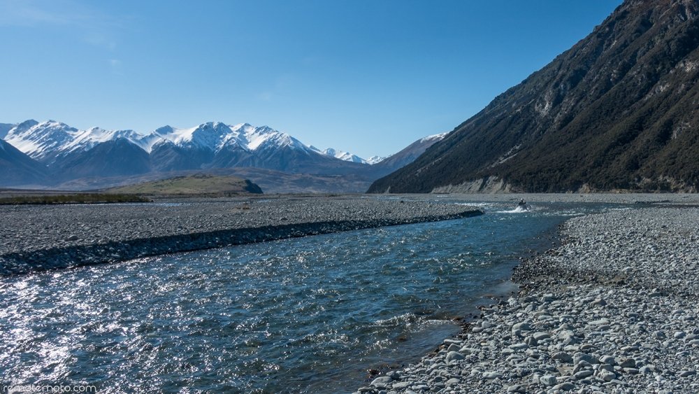
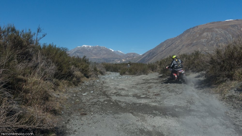
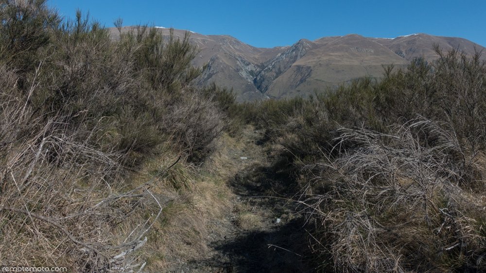
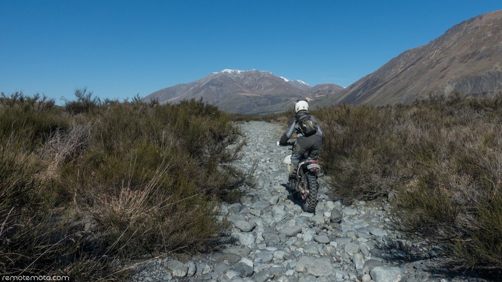
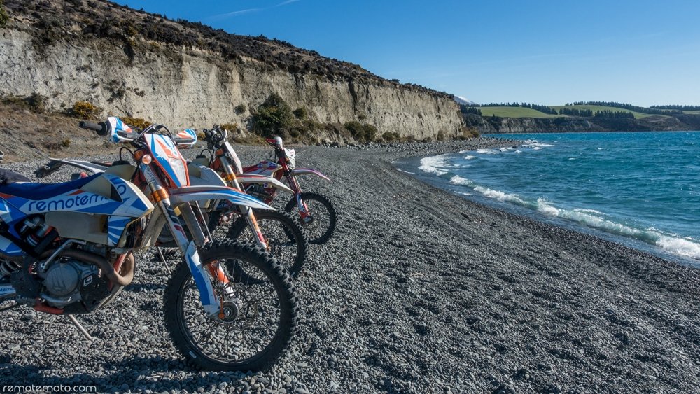
Throughout the winter of 2018 I spent a great deal of time riding and GPS logging the Wilberforce Valley and its tributaries. It looks small on a topo map but it takes a surprising amount of time to ride the entire area to find out what's ridable, and what's not. What's fun to ride, and what isn't. This is mainly because your average speed drops significantly the further up each valley you progress due to the increasing size of the boulders. As a result, the terrain eventually becomes Grade 5 to Grade 5+ and is slow going.
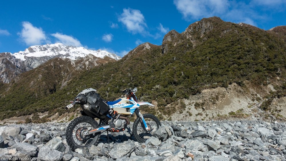
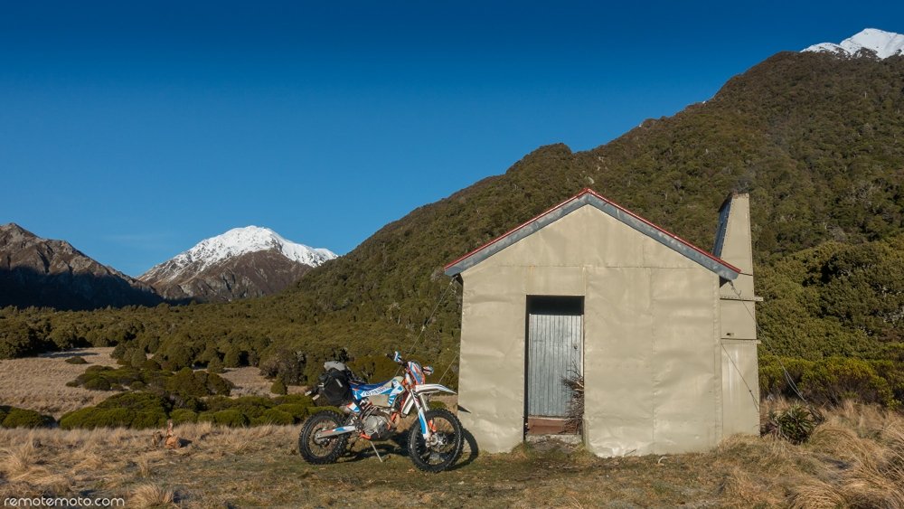
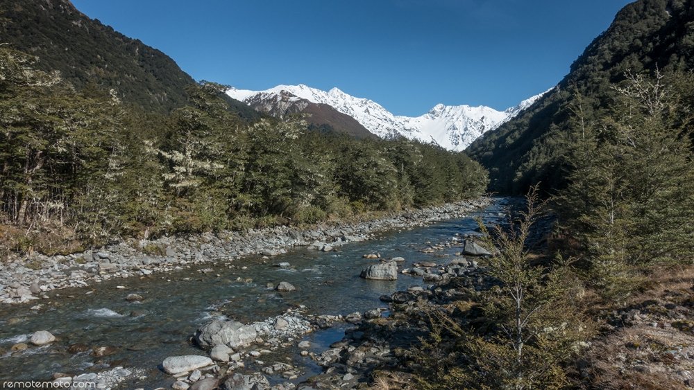
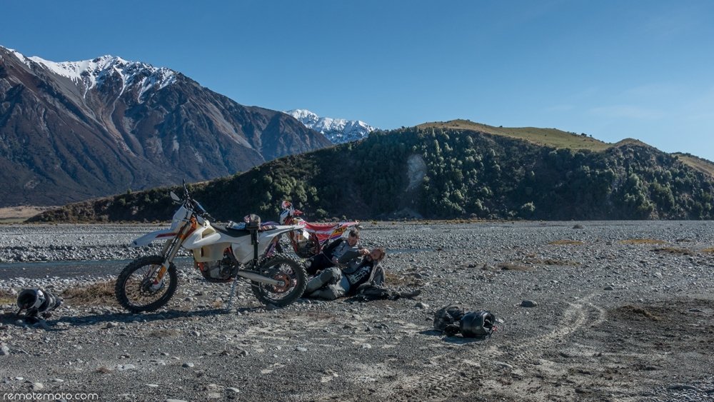
The main focus for day #1 of this trip was to GPS log and photograph the headwaters of Unknown Valley. Also to set a AdventureToken at a massive rock that has tumbled down from the surrounding mountain range and placed itself squarely on the valley floor.
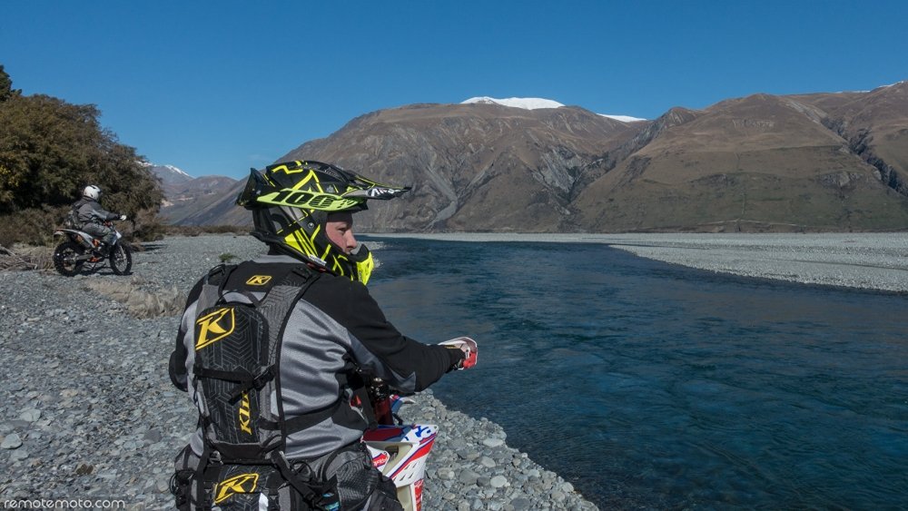
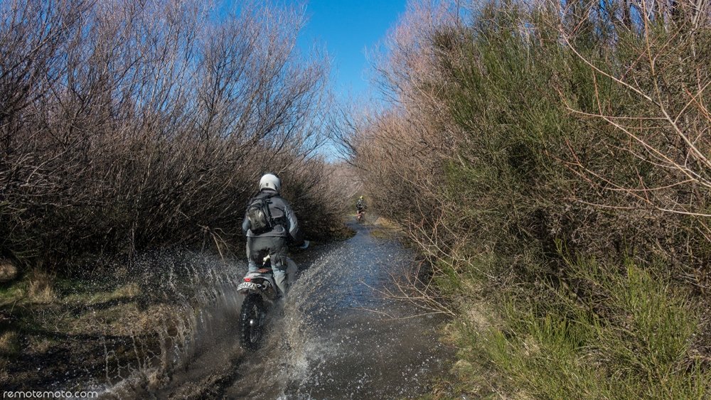
The plan for day #2 was to meet up with Mark and Daniel to ride a section of river bed that is heavily covered in scrub, but has narrow channels ploughed through it from previous floods. From Google maps it looked as though these would provide a fun twisty way to wind down the river valley. At the time of planning I was hoping the terrain of these channels would be sandy or small material, however I was well aware of the likelihood that they could be very rocky. There was only one way to find out so it was locked into the route plan and I was off…


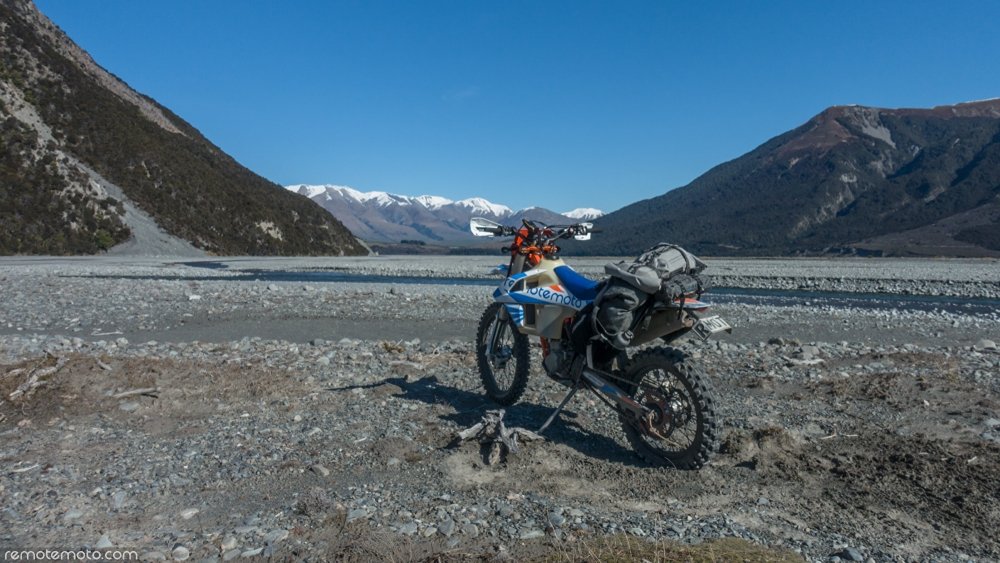
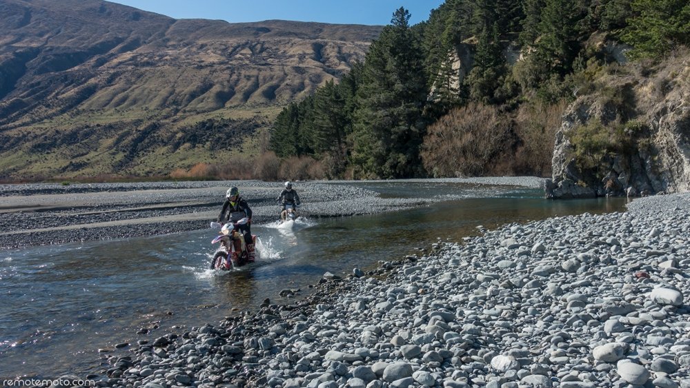

We successfully knocked off the channels and stared making our way back to the main gravel road. Would I ride these channels again? Well, it was good fun and great to knock off the challenge, but it was pretty punishing stuff. Riding this route may only be a oncer ;)
If you are interested in riding this area then check out the Wilberforce Explorer. It has all of the route information, hut and camping information plus downloadable GPX files for the entire area. There is simply no better resource available. Click here: Wilberforce Explorer.